

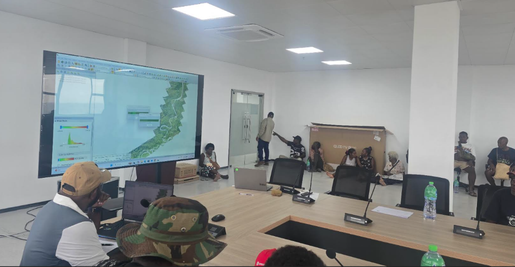
Boundary Consultation Discussions
Common Boundary Agreement Signed Between Koehoto and Lauvatale Landholding Groups
Central Guadalcanal, Solomon Islands – A significant milestone in the Central Guadalcanal Land Recording Program was achieved with the successful signing of a Common Boundary Agreement between the Koehoto Landholding Group comprising of Garavu, Manuki, Lasi and Koenihao tribes of Koehoto Region and the Lauvatale Landholding Group comprising of Ghaobatatina, Chacha, Koenihao, Lasi& Sogotina, Thibo tribes of Lauvatale Region, demonstrating the commitment of customary landowners to collaborative land governance and peaceful resolution of boundary matters.
The agreement was formally signed on the 4th September 2026 following extensive consultations, field activities, and discussions facilitated under the Land Recording Program. The process enabled both landholding groups to jointly identify, verify, and agree upon the location of their shared customary land boundary.
The signing ceremony was witnessed by representatives of the Ministry of Lands, Housing and Survey, community leaders, elders, and members of both landholding groups, who acknowledged the importance of cooperation and mutual understanding in resolving customary land boundary issues.
Ministry officials described the agreement as a positive outcome of the land recording process and an example of how customary landowners can work together to establish clarity and certainty regarding customary land boundaries.
“The successful signing of theCommon Boundary Agreement demonstrates the willingness of neighbouring landholding groups to engage constructively and reach consensus on matters affecting their customary land rights and interests. Such agreements are fundamental to the integrity and effectiveness of the Land Recording Program.”
The agreement forms an important component of the land recording process by providing documented confirmation of the common boundary accepted by both parties. This assists in ensuring that customary land records accurately reflect the understanding of adjacent landholding groups and reduces the potential for future disputes or overlapping claims.
Representatives from both Koehoto and Lauvatale acknowledged the efforts of their respective elders, chiefs, and community members who contributed customary knowledge and historical information during the boundary verification process. They noted that the agreement reflects a shared commitment to preserving community harmony while safeguarding the rights and interests of current and future generations.
The Ministry of Lands, Housing and Survey commended both landholding groups for their cooperation, patience, and commitment throughout the process. Officials highlighted that the successful resolution of common boundaries is an important objective of the Land Recording Program and contributes to the establishment of accurate and reliable customary land records.
As the Central Guadalcanal Land Recording Program continues, the Ministry encourages other neighbouring landholding groups to engage in constructive dialogue and participate actively in boundary verification activities. The Ministry remains committed to supporting customary landowners through transparent and inclusive processes that respect local customs and traditions.
The signing of the Common Boundary Agreement between the Koehoto and Lauvatale Landholding Groups represents a significant achievement for the participating communities and a positive step towards strengthening customary land administration, promoting dispute prevention, and enhancing land governance within Central Guadalcanal.
Ends.
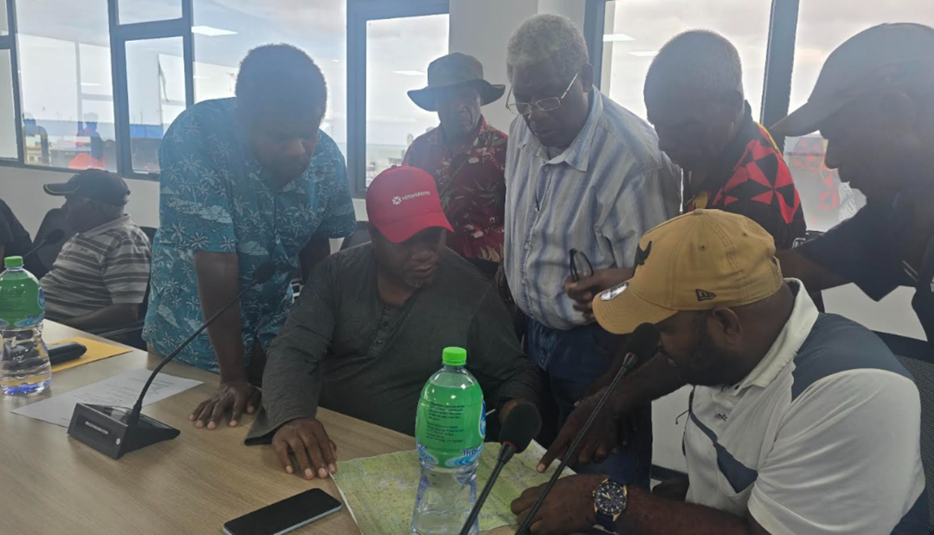
Boundary Consultation Discussions
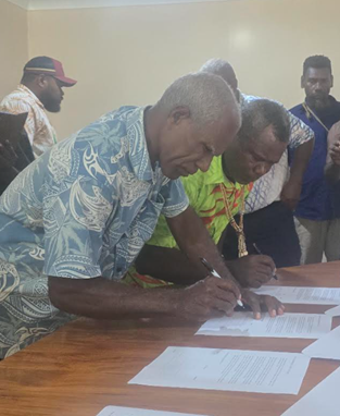
Chiefs from Lauvatale Landholding Group
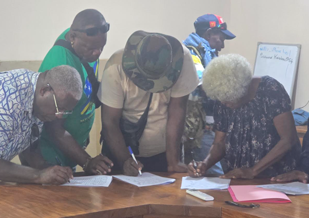
Signing by Members of Koehoto Landholding group