

CaB SMART MSP TEAM has Successfully Completed the Community-Led Marine Spatial Planning Field Trial Under the Climate and Biodiversity Smart Marine Spatial Planning (CaB-SMART MSP) Project
Nagotano Community, Central Islands Province, Solomon Islands | 20 July 2026 – The CaB SMART MSP Project team has completed a field trial of Community-Led Marine Spatial Planning (MSP) approach at Nagotano Community. This was an activity under the Climate and Biodiversity Smart Marine Spatial Planning (CaB-Smart MSP) Project which is implemented by the Ministry of Fisheries and Marine Resources and the Ministry of Environment, Climate Change, Disaster Management and Meteorology, through the CAB SMART MSP Project Management Unit.
The trial involved 44 participants (28 male and 22 female) serving as community representatives. These representatives comprised customary marine resource owners, community leaders, women, youth, and fishers. Together, they mapped coastal and marine resources, identified areas of ecological, cultural and economic significance and developed practical management priorities for the community’s marine environment and resources. Spatial maps, illustrating the use of ocean and coastal space, were generated based on the collected spatial information.
Community members and groups participated actively in marine resource mapping, stakeholder discussions, and planning exercises that integrated traditional ecological knowledge with scientific approaches. This facilitated and collaborative process enabled the community to identify key fishing grounds, coral reefs, mangrove areas, seagrass habitats, spawning and nursery sites, navigation routes, and culturally significant locations that require interventions such as sustainable utilization, management, conservation and protection and even restoration and rehabilitation.
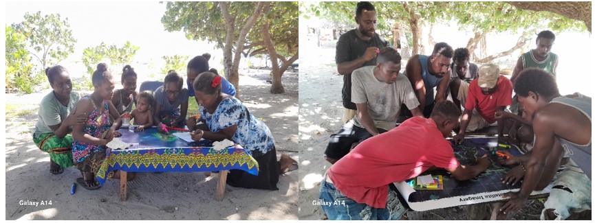
Figure 1. Participatory mapping with women participants (left) and men participants (right)
The trial demonstrated that Community-Led Marine Spatial Planning can be an effective and inclusive process that empowers communities to make informed decisions about the sustainable use and conservation of their coastal and marine resources while supporting food security, livelihoods, protecting biodiversity, and building climate resilience.
The CaB-Smart MSP Project recognises customary resource owners as pivotal to marine stewardship in the Solomon Islands. By placing communities at the center of planning and decision-making, the project recognizes and aims to strengthen local governance systems and promote long-term sustainable management of coastal and marine ecosystems and resources.
The successful completion of the Nagotano Community field activities provides valuable lessons for refining Community-Led Marine Spatial Planning approaches that can be applied to other coastal communities targeted under the Project and in the long term to other communities in the country. . The successful activity highlights the strength and benefits of partnership between communities, government agencies, development partners, and technical organisations in advancing locally led solutions for the sustainable management of Solomon Islands’ coastal and marine resources.
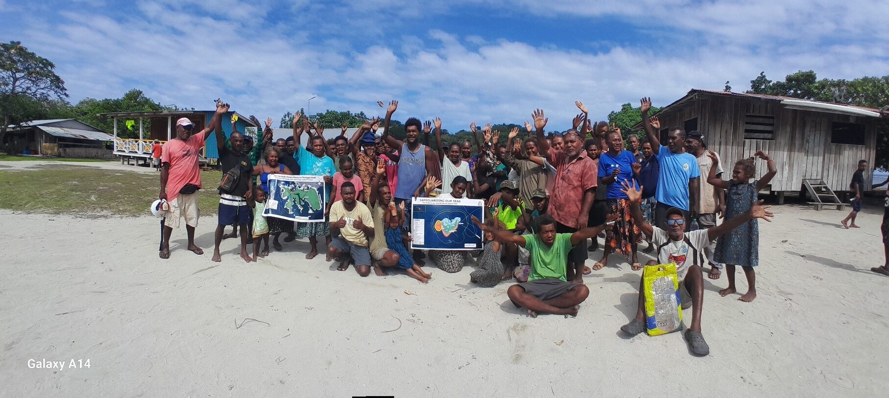
Figure 2. Group photo during the validation trip_ Participants of Nagotano Community and CaB Smart MSP team
The CaB-Smart MSP Project is made possible through funding from the New Zealand Ministry of Foreign Affairs and Trade (MFAT), reflecting New Zealand’s ongoing partnership with the Solomon Islands in promoting sustainable ocean governance, resilient coastal communities, and healthy marine ecosystems.
//END//