
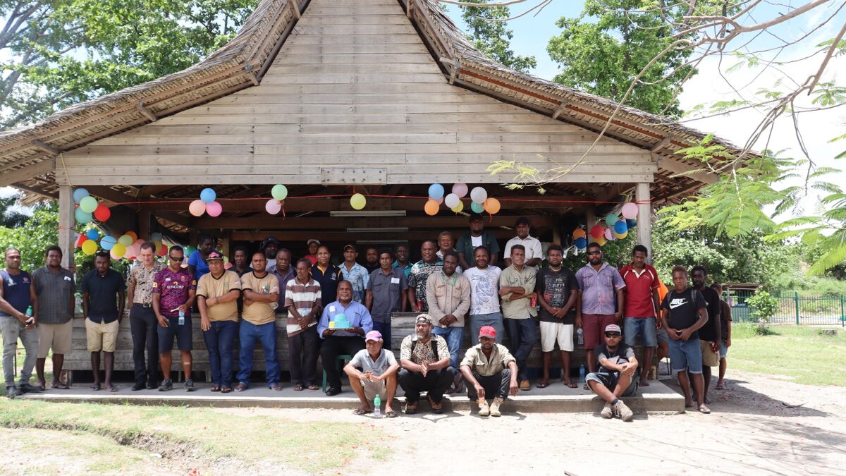
GIS users and their friends who attended the GIS Day celebration at the Townground NPF compound last week.
GIS Day Celebrated in Honiara
Geographic Information System (GIS) Day was celebrated for the first time in Honiara on the 18th November, Wednesday last week.
The day celebrated globally brings together Honiara-based GIS users working in private companies, state own enterprises and government organizations.
GIS is a computer system for capturing, storing, checking, and displaying data related to positions on Earth’s surface.
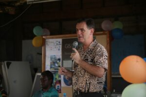
Commissioner of Lands and Chief Technical Adviser for the Ministry of Lands, Housing and Survey Alan McNeil emphasizes on the need to move forward with the use of GIS tools.
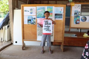
The celebration also feature exhibition of GIS products and fundraising activities to support next year’s hosting.
Speaking during the celebration, Commissioner of Lands and Chief Technical Adviser for the Ministry of Lands, Housing and Survey, Alan McNeil, emphasizes on the need to move forward with the use of GIS tools.
“We still have a long way to go. GIS has greater potential.
“Challenge us to move forward with this technology which is the future,” he remarked.
A local GIS expert, Bryan Pitakia, in his remarks shed light into the history of the use of GIS in the country.
He also shared his experience working with various organizations and the challenges and benefits of employing GIS tools.
Mr Pitakia said there is a lot of work which needs to be done in terms of mapping and data collection.
“Management of data collected is important since it will help in the decision making process.”
He then called on GIS users to work together in terms of data sharing in the field for the betterment of the nation.
Also speaking during the celebration, Information Systems Officer for the Ministry of Environment, Climate Change, Disaster Management and Meteorology (MECDM) who is also United Nations Institute for Training and Research (UNITAR’s) Operational Satellite Applications Programme (UNOSAT) Focal Point of CommonSensing in the country, Ms Joy Papao stressed the importance of networking amongst GIS users.
The celebration was organized by the Association of Surveyors of the Solomon Islands
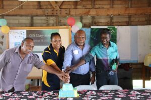
Surveyor General at the Ministry of Lands, Housing & Survey, Jimmy Ikina and guest speakers cutting the cake to mark the GIS Day in Honiara.
Ms Papao who worked for 13 years at the Pacific Islands Applied Geoscience Commission (SOPAC) in Suva, Fiji also revealed her goals to continue provide training to build capacity of government GIS users and academic institutions like Solomon Islands National University (SINU).
SINU also offered limited GIS training unit. However there needs more investment into this programme. Trainer Freddie Saenile said there is a need for improvement to the schools’ equipment and software’s to latest versions.
“We need to catch up with the trend of technologies; getting away from analogues and hand drawings to sophisticated technologies at hand.”
“We are looking forward for a joint partnership with private companies and the government to strengthen GIS trainings and also upgrade the course to certificate diploma,” the SINU lecturer said.
The celebration was organized by the Association of Surveyors of the Solomon Islands.
The celebration also feature exhibition of GIS products and fundraising activities to support next year’s hosting.
Ends//
Media Release from GCU