

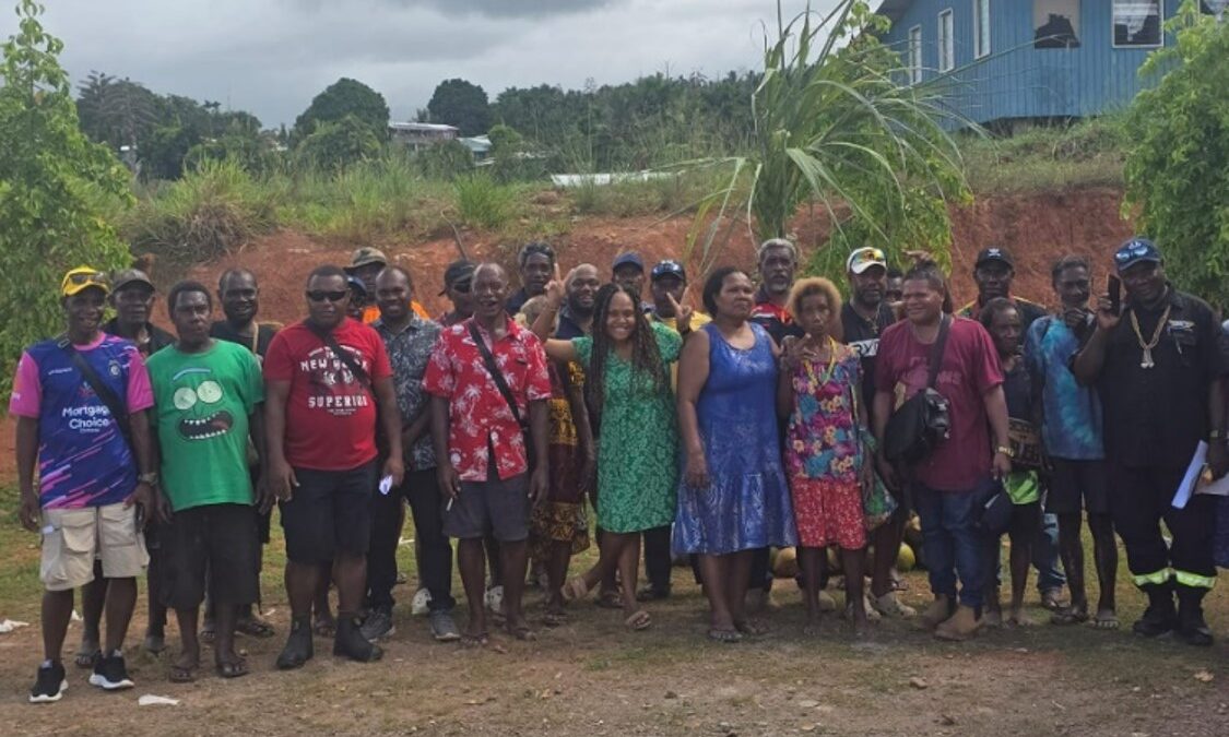
Group Photo: Koehoto and Suta landholding groups
LIDAR Survey Consultation and Awareness Program Supports Land Recording Process in Koehoto, Central Guadalcanal, Solomon Islands.
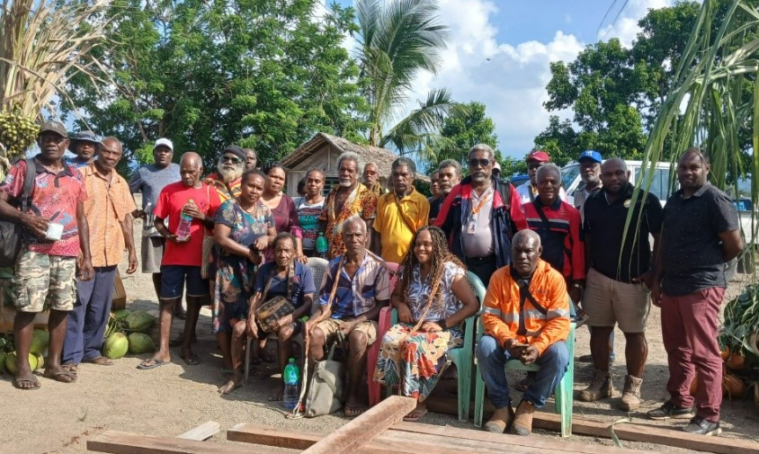
Group Photo: Koehoto and Lauvatale landholding groups
Horohana landowner speaking at the Koehoto and Horohana landholding groups meeting
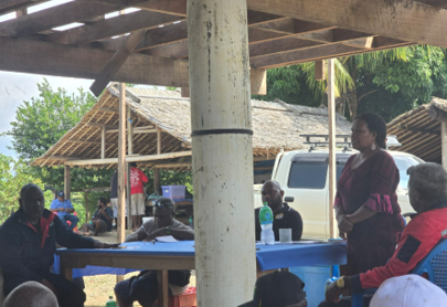
(Land Reform) speaking to participants about importance of Lidar Survey groups meeting
The Tribal Land Recording Unit of the Ministry of Lands, Housing and Survey in consultation with Geotech Positioning Solutions Ltd has completed a comprehensive consultation and awareness program on the implementation of Light Detection and Ranging ( LIDAR ) survey on the 18th, 19th and 21st May 2026 in three locations in Central Guadalcanal. The first ever of its kind to be conducted for the land recording process, this initiative forms part of the GREAT Government’s commitment to modernise land management through the adoption of geospatial technologies that provide accurate and reliable mapping data to strengthen and effectively carry out the land recording process.
The talks brought together landowners from different regions of Bahomea, Suta, Lauvatale, Horohana and Koehoto of Central Guadalcanal, government officials, chiefs and community leaders to discuss the objectives, benefits and implementation procedure of the LIDAR Survey for Koehoto broader land recording work thus enabling the precise identification and recording of land boundaries
Govt Officials affirmed that the LIDAR survey is intended to support the land recording process by reducing boundary disputes, and improving land-use planning. Participants were also informed that the survey will not alter land ownership rights or customary land boundaries but that it was a tool to enhance the land recording process.
Participants raised questions and concerns regarding data collection procedures and boundary identification. Government representatives reassured participants that all survey activities
would be conducted in accordance with applicable laws, policies, and established community consultation protocols
Community leaders welcomed the awareness program, noting that clear communication and stakeholder engagement are essential to building public confidence in the land recording process. Many participants expressed appreciation for the opportunity to gain a better understanding of how modern surveying technologies can contribute to improved land governance and sustainable development
Officials further highlighted that accurate land information is critical for infrastructure development, environmental management, investment planning, and the protection of customary land rights. The LiDAR survey is expected to provide valuable baseline data that will support evidence-based decision-making and enhance the efficiency of future land administration processes.
The Government reaffirmed its commitment to maintaining an open and inclusive consultation process, ensuring that landowners and affected communities remain informed and actively engaged throughout all stages of the LiDAR survey and land recording program. As implementation progresses, additional awareness and consultation activities will be conducted in participating communities to ensure that stakeholders continue to receive timely information and opportunities for meaningful participation.